Radiance Morphological Mapping for Small Body Surface Investigations
- University of Tartu, Tartu Observatory, Dept. of Space Technology, Estonia (aditya.savio.paul@ut.ee)
Performing geological investigations for small body surface bodies require a holistic understanding of their environments including the activities that relate to their dynamic behavior. Planetary bodies in the likes of asteroids, comets and other small solar system bodies are expected to host environments which are quite erratic in nature. The occurrence of various geological features like craters and boulders are resultant of such erratic activities including rubble disintegrations, inherent force effects due to rotations on varied axes, impacts from surrounding bodies including micro-meteorites, eminent cosmic dust interactions, as well as surface and sub-surface activities.
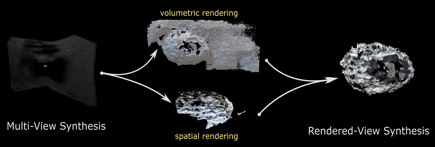
Fig 01. Schematic of target representation in volumetric and spatial views
It is these erratic activities that have propelled planetary sciences to advance techniques and methods to explore, navigate and investigate the processes occurring on these bodies. Missions relating to flybys and in-orbit exploration are therefore envisaged to better understand these bodies, as compared to remote observations. However, owing to the surface activities and orbital behavior, it is a challenge to plan missions to these bodies. A solution to this is developing scenarios that represent the morphologies of the target bodies. This provides an intuition regarding their structure and dynamics which brings enhanced cognition towards understanding the activities that may have led to the formation of such features. Probing the environments of small body surfaces requires models that can be spatially represented. These models can be synthesized with spatial observations that can be represented in the radiance and volumetric domains to develop coherent models of the target bodies.
In order to study these bodies and concurrent activities in their vicinity, it is essential that these scenarios are developed (with a sense of photorealism) that provide the intuition about the possible states of the target body that the spacecraft encountered during different mission phases or develop cognition for future spacecraft missions to yet-to-be-explored bodies in space.
This work leverages generative radiance fields to reconstruct varied geo-morphological representations of the surfaces of the target body allowing to render multi-angle views as insights to the surface features and morphology. This approach presents us the opportunity to visualize different geo-morphological views to pursue investigations on surface formations like craters ad boulders. The method synthesizes the scene descriptions as a continuous volumetric scene capturing the surface irradiance reflected off the bodies. Building on this information, we can generate varied states and directional views of the surface features.
Fig 02: Volumetric model reconstructed with spatially represented surface features
Deploying a neural network-based approach the scene representation adopts a fully-connected network using spatial location, and the viewing angles to output the volumetric extent and view-dependent emitted radiance. The neural model is trained over spatially obtained images and subsequent solar phase angles to produce iteratively-progressive minimum-loss environments delineating the surface features. For a holistic understanding, mission-relevant spacecraft trajectories are sampled that perform proximity fly-bys and in-orbit maneuvers capturing the simulated target body from spatially-optimal sampled positions. The neural output is optimized based on varied solar flux incidence angles that effectively illuminate the target body to produce representative surface geometry and geo-appearances. The generation models aid in developing a geomorphic map of the surface features like mounds, boulders and craters.
The research is pursued in two directions – Firstly, performing optimally-spatially renders within a physics-informed space simulation environment (as a requisite of multi-view synthesis) and secondly, obtaining observational data of proxy targets in the space analog within the Space Mission Simulation Centre located in the premises of Tartu Observatory, University of Tartu, Estonia.
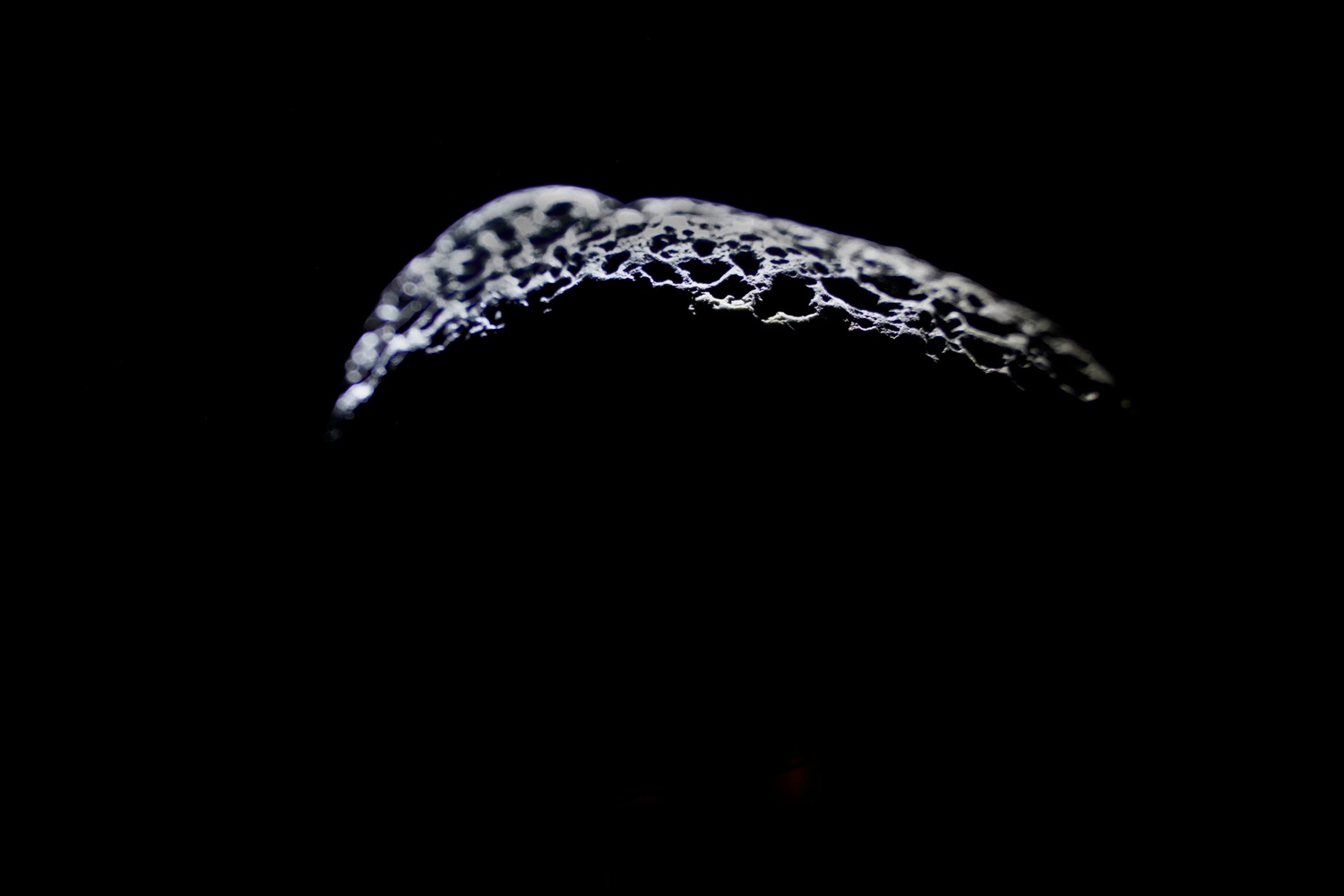
Fig 03. Small Body target imaged at Tartu Observatory Facility
The simulations are designed over trajectory solutions to produce a sequence of images representing various orbital maneuvers, as a-priori information, to capture the object of interest from spatially-varied location and orientation. The analog environment at Tartu Observatory serves as a proxy for real-world spatial settings, allowing for controlled experimentation and detailed examination of various surface phenomena. Through a series
of defined trajectories in the form of flybys and proximity, images of the proxy-targets are samples. The targets are illuminated using varied pseudo-solar angles representing the solar illumination. Multiple data gathering campaigns produce images acquired that are used to train the neural network model for producing photo-realistic scene representations. The proposed key investigation surface features include factors influencing the formation and evolution of surface features and shedding light on fundamental geological processes such as weathering, erosion, and deposition. These scenes can produce educated representations of the environments that spacecrafts and satellites might encounter when they visit these pristine worlds.
The scenes help us to understand specific morphology and physical entrails of the target bodies that affect the dynamics of these bodies. The scene representations also help to model inherent forces like the gravitational influence, solar radiation pressure, Yarkowsky’s effect and their extent exerted by these bodies. Moreover, the representations also aid in producing models for endogenous activities like rubble and dust particulates in close vicinity of these bodies.
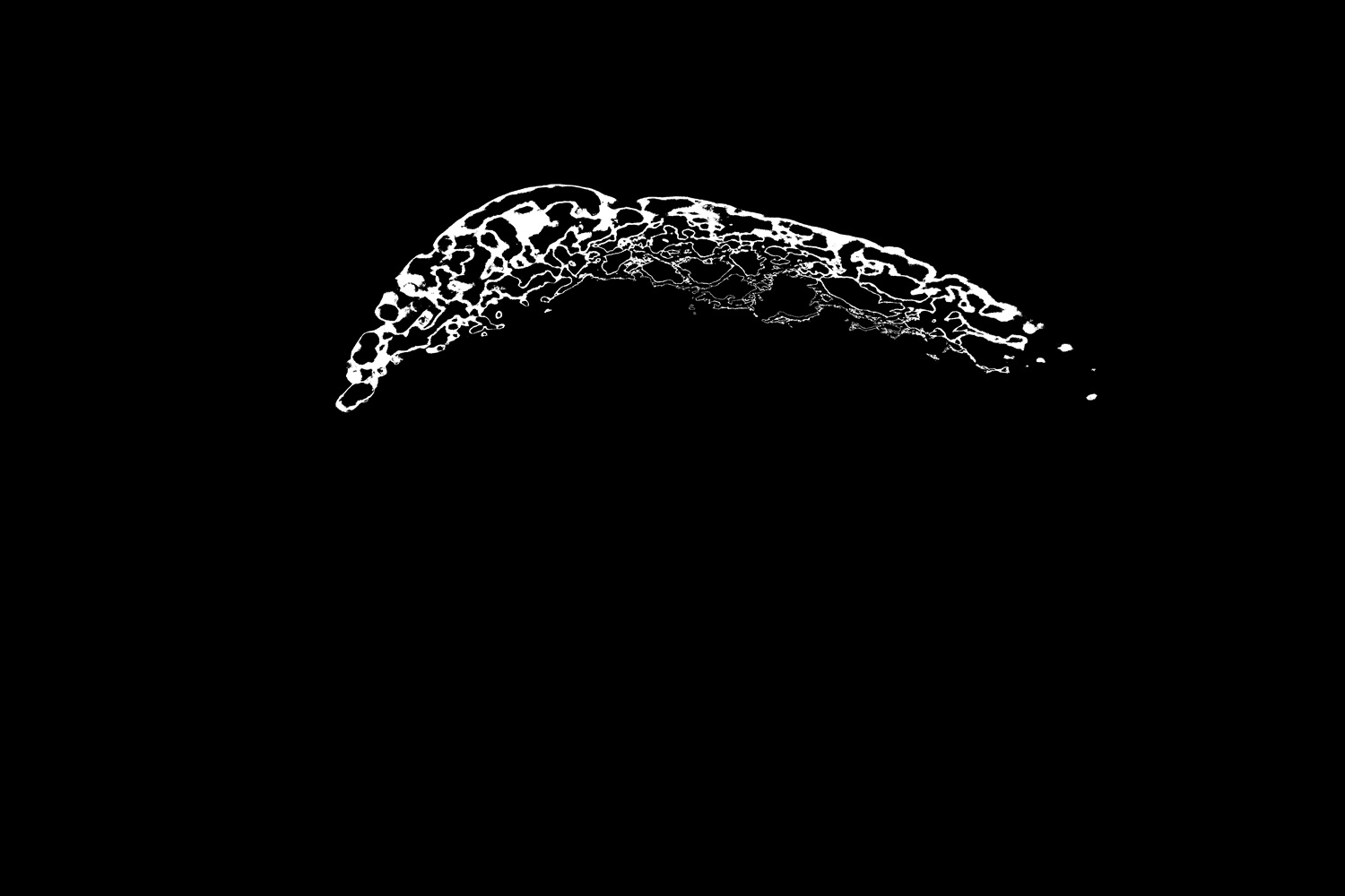
Fig 04. Feautre recognition for surface ridges
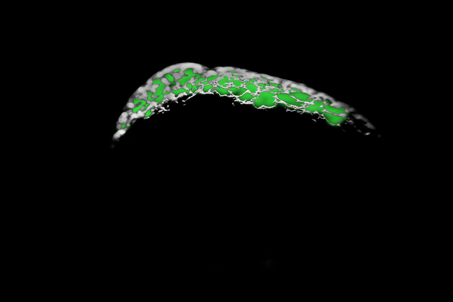
Fig 05. Feautre recognition for surface craters and impacts
In a broader perspective, the scene representations serve as initial understandings of the morphological features of the target body which helps in the design, planning, control and analysis of potential space missions. This helps us to characterize them better and eventually results in a high-scientific yield. The research has the potential to contribute to in-orbit mapping procedures where various orbits of exploration can be assimilated towards generating high fidelity environment maps. Moreover, endeavors with planetary defense also have parallel insights with scene representations and scenario development, especially in capturing transient event flybys in the case of Oumuamua or the impact and aftermath of endeavors like the DART and HERA mission objectives.
How to cite: Paul, A. S.: Radiance Morphological Mapping for Small Body Surface Investigations, Europlanet Science Congress 2024, Berlin, Germany, 8–13 Sep 2024, EPSC2024-617, https://doi.org/10.5194/epsc2024-617, 2024.