MITM7
On the radar: From small bodies, to moons and planets with ground- and space-based radars
Co-organized by TP/OPS/SB
Conveners:
Agata Rozek,
Anne Virkki
|
Co-conveners:
Luisa Fernanda Zambrano Marin,
Edgard Rivera-Valentín,
Sean E. Marshall,
Roberto Orosei,
Alain Herique
Orals TUE-OB6
|
Tue, 09 Sep, 16:30–18:00 (EEST) Room Neptune (rooms 22+23)
Orals WED-OB2
|
Wed, 10 Sep, 09:30–10:30 (EEST) Room Neptune (rooms 22+23)
Orals WED-OB3
|
Wed, 10 Sep, 11:00–12:30 (EEST) Room Neptune (rooms 22+23)
Posters MON-POS
|
Attendance Mon, 08 Sep, 18:00–19:30 (EEST) | Display Mon, 08 Sep, 08:30–19:30 Finlandia Hall foyer, F92–106
Tue, 16:30
Wed, 09:30
Wed, 11:00
Mon, 18:00

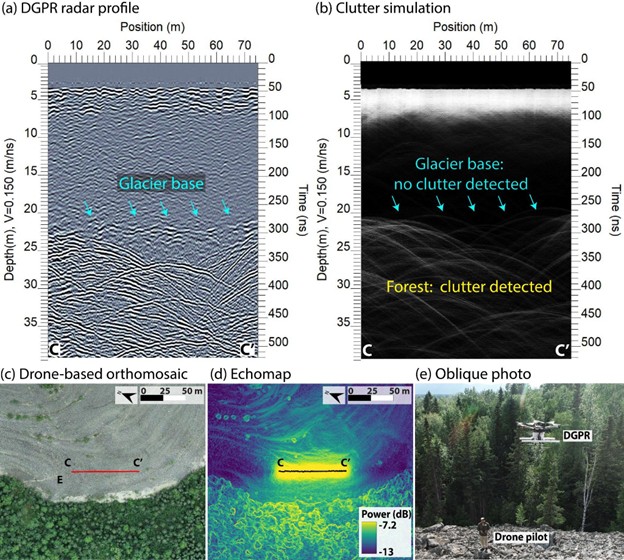
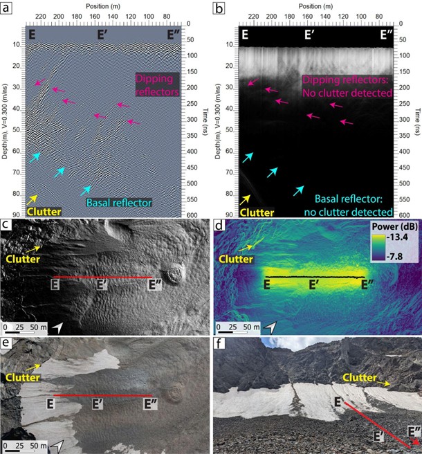
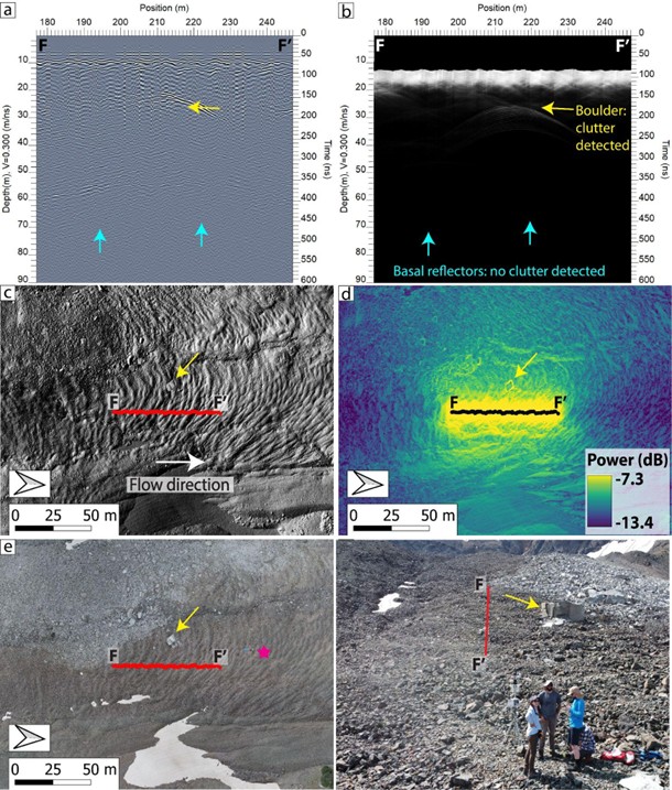
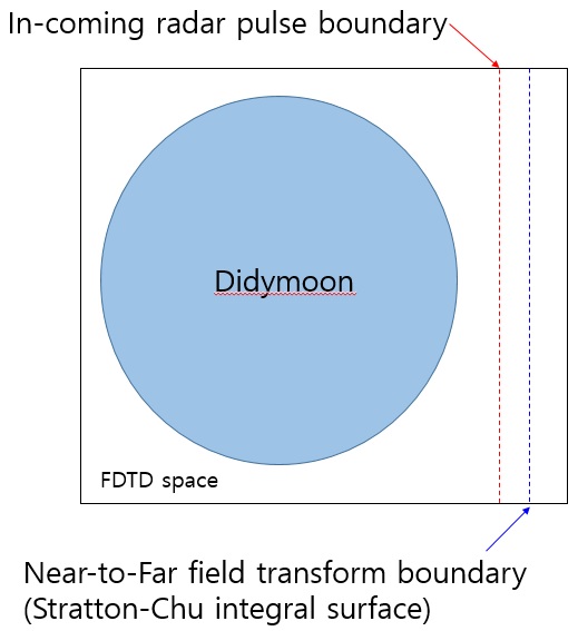
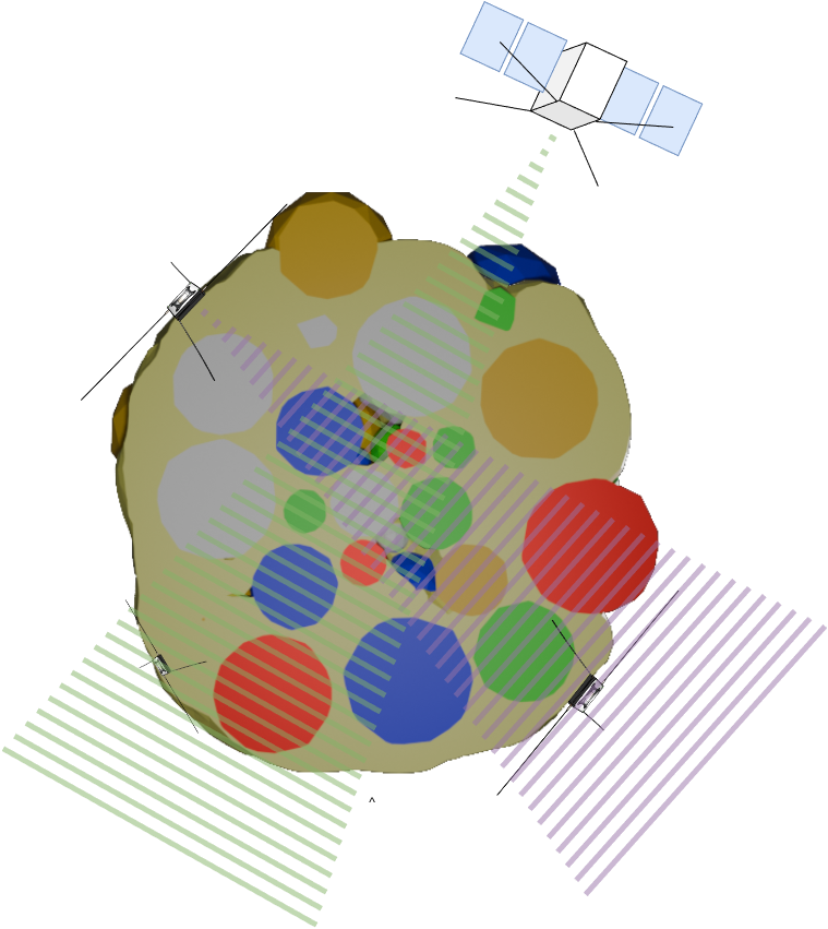
For more than 50 years, the Arecibo Observatory planetary radar explored the Solar System from Earth, including determining the rotation rate of Mercury, detecting liquids on Saturn’s moon Titan, and observing tens to hundreds of NEOs yearly, many with sufficient data for detailed analysis of surface morphology and 3-D shape reconstruction. Current radar facilities continue monitoring near-Earth space (e.g., Goldstone), as well as emerging capabilities at Green Bank Observatory and southern hemisphere observing capabilities in Australia. Various radar observing methods have also been used to study Solar System bodies in orbit, including synthetic aperture radar imagers (e.g., the Lunar Reconnaissance Orbiter’s Mini-RF), and sounders (e.g., Mars Reconnaissance Orbiter’s SHARAD). Many more such instruments are en route (e.g., RIME on JUICE and REASON on Clipper for Ganymede and Europa, as well as JuRa for 65803 Didymos) and others are in development (e.g., SRS on EnVision, and VISAR on VERITAS for Venus), as well as planned instruments for small body exploration, including the upcoming close-approach of 99942 Apophis (e.g., RAMSES).
In this session, we invite contributions relating to ground- and space-based planetary radars, from the analysis of existing missions and facilities, laboratory and field-analog studies, to instrument development, and new techniques to conduct radar studies.
Session assets
Radar techniques
16:30–16:42
|
EPSC-DPS2025-52
|
On-site presentation
16:42–16:54
|
EPSC-DPS2025-1208
|
On-site presentation
16:54–17:06
|
EPSC-DPS2025-1936
|
ECP
|
On-site presentation


17:06–17:18
|
EPSC-DPS2025-710
|
ECP
|
On-site presentation
Moon
17:18–17:30
|
EPSC-DPS2025-1701
|
ECP
|
On-site presentation

17:30–17:42
|
EPSC-DPS2025-1128
|
ECP
|
On-site presentation

17:42–17:57
|
EPSC-DPS2025-861
|
ECP
|
solicited
|
On-site presentation
17:57–18:00
Discussion
Mars
09:30–09:42
|
EPSC-DPS2025-1086
|
ECP
|
On-site presentation

09:42–09:54
|
EPSC-DPS2025-72
|
On-site presentation
09:54–10:06
|
EPSC-DPS2025-1857
|
ECP
|
On-site presentation
10:06–10:18
|
EPSC-DPS2025-286
|
On-site presentation
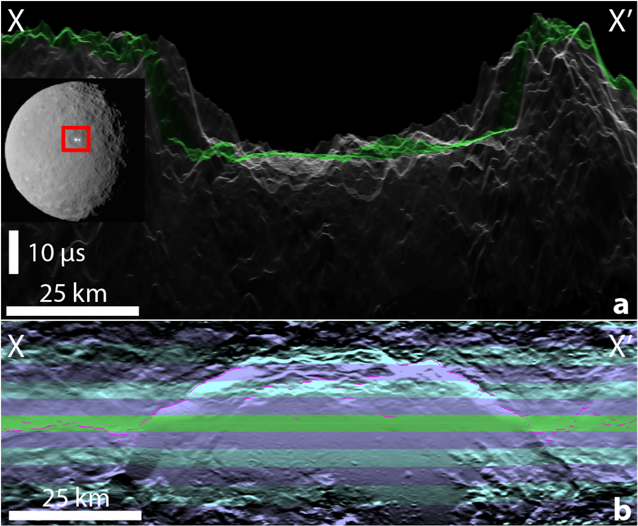
Icy moons
10:18–10:30
|
EPSC-DPS2025-865
|
ECP
|
On-site presentation
11:00–11:12
|
EPSC-DPS2025-75
|
ECP
|
On-site presentation


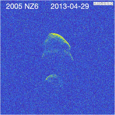
NEAs
11:12–11:27
|
EPSC-DPS2025-845
|
ECP
|
On-site presentation
11:27–11:39
|
EPSC-DPS2025-1068
|
ECP
|
On-site presentation
11:39–11:51
|
EPSC-DPS2025-462
|
On-site presentation

11:51–12:03
|
EPSC-DPS2025-1712
|
ECP
|
On-site presentation
12:03–12:15
|
EPSC-DPS2025-1154
|
ECP
|
On-site presentation
12:15–12:30
|
EPSC-DPS2025-1542
|
ECP
|
solicited
|
On-site presentation

Radar poster session
F92
|
EPSC-DPS2025-1151
|
On-site presentation
F93
|
EPSC-DPS2025-1082
|
On-site presentation


F94
|
EPSC-DPS2025-436
|
On-site presentation
F95
|
EPSC-DPS2025-240
|
On-site presentation
F96
|
EPSC-DPS2025-1415
|
On-site presentation
F97
|
EPSC-DPS2025-880
|
ECP
|
On-site presentation
F98
|
EPSC-DPS2025-1192
|
On-site presentation
F99
|
EPSC-DPS2025-1476
|
ECP
|
On-site presentation
F101
|
EPSC-DPS2025-1709
|
On-site presentation
F102
|
EPSC-DPS2025-364
|
On-site presentation
F103
|
EPSC-DPS2025-1511
|
On-site presentation
F104
|
EPSC-DPS2025-738
|
On-site presentation
F105
|
EPSC-DPS2025-875
|
ECP
|
On-site presentation
F106
|
EPSC-DPS2025-1457
|
ECP
|
On-site presentation